
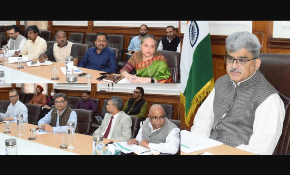
Chief Secretary Atal Dulloo led a meeting to establish a land bank for development projects and mandatory compensatory afforestation.
- Government Land Identification: All divisional and district administrations were directed to identify government-owned land parcels within their areas.
- Classification and Suitability: Identified land must be classified based on suitability for development or socio-economic welfare.
- GIS Mapping and Ground-Truthing: The Forest Department will conduct GIS mapping of identified land, and joint ground-truthing with the Revenue Department is required to verify suitability.
- Categorization: The land bank will be divided into parcels suitable for infrastructure development and those reserved for afforestation, adhering to Supreme Court directives.
- Compensatory Afforestation Compliance: The initiative complies with the Van (Sanrakshan Evam Samvardhan) Adhiniyam, 1980, and the Supreme Court’s mandate to ensure no net loss of forest land.
- Committee and Progress: A committee, led by the Principal Chief Conservator of Forests (PCCF), is actively identifying suitable non-forest land for compensatory afforestation.
- Current Status: 2,576 land parcels, totaling 553,263 kanal, have been identified across Jammu and Kashmir. Following joint inspections, 82 parcels, measuring 14,797 kanal and 154 marla, were deemed free of encumbrances and suitable for the afforestation land bank.


