
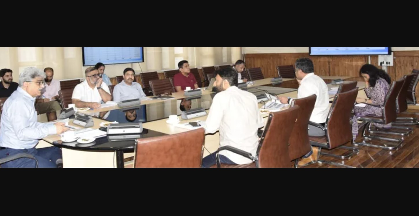
Jammu & Kashmir is making significant strides in modernizing its land records system through ambitious digitization efforts. Chief Secretary Atal Dulloo recently chaired a crucial meeting to review the progress, emphasizing the paramount importance of quality assurance to ensure accuracy and reduce grievances.
Key Highlights of the Digitization Drive
- Robust Quality Control: Dulloo stressed the implementation of a strong system of checkers and approvers to meticulously cross-verify data entries made by field staff with physical records. This aims to minimize errors, leading to fewer public grievances and court cases.
- Simplified Processes: The Chief Secretary highlighted that the completion of this exercise will streamline crucial processes like registrations, mutations, and real-time, transparent seasonal crop monitoring.
- Capacity Building: Recognizing the technical nature of the work, Dulloo underscored the critical need for repeated hands-on training sessions for additional staff deputed for data entry to ensure their full understanding of the assignment.
- Dedicated Data Entry Centers: Deputy Commissioners were instructed to establish fully equipped data entry centers in their districts, providing sufficient computers, reliable internet connectivity, and power backup.
- Streamlined Geo-referencing: To facilitate rectifications and updates for field staff in the Kashmir Division, the possibility of deputing another team from the Survey of India to Srinagar is being explored, eliminating the need for staff to travel to Jammu.
Modernization Programs and Progress
Secretary Revenue, Kumar Rajeev Ranjan, provided a detailed overview of the programs driving this modernization:
- Digital India Land Records Modernization Programme (DILRMP): This overarching program aims to digitize and modernize land records.
- Survey Of Villages And Mapping With Improvised Technology In Village Areas (SVAMITVA): Under this program, 4,368 out of 4,395 villages have been surveyed by the Survey of India, with ongoing ground truthing leading to the eventual generation of property cards for occupants.
- National Geospatial Knowledge-based Land Survey of Urban Habitations (NAKSHA): A one-year pilot program, NAKSHA will be implemented in over 100 cities nationwide, with Survey of India as the technical partner. In J&K, Bishnah and Katra in Jammu Division, and Awantipora and Pattan in Kashmir Division have been selected for this project.
- Unique Land Parcel Identification Numbers (ULPIN): These 14-digit unique alphanumeric identifiers provide the exact location, area, and other land record credentials of each parcel. So far, 523,998 ULPINs have been generated across 1,718 villages in J&K, marking a significant step towards a truly unique and verifiable land records system.
Digitization of Records of Rights (RoRs) and Cadastral Maps
- RoR Digitization: Necessary software customizations for local adoption have been completed, and the User Acceptance Testing (UAT) committee is currently evaluating the software. The portal is slated to enter the production stage after July 1, 2025, and will be live for data entry by July 10, 2025.
- Training and Infrastructure: To support this massive undertaking across 6,850 revenue villages, the department has already trained 244 Master Trainers, 1,253 Patwaris, and 1,053 MTS/other staff. Additionally, 7,000 User IDs for data entry have been created, and a monitoring dashboard is under development, expected by July 10, 2025.
- Cadastral Map Geo-referencing: Scanned maps are being geo-referenced by BISAG-N, followed by ground truthing by field staff. So far, 6,281 maps have been shared, with 5,609 received back, and ground truthing completed for 2,374 maps. In a later phase, sub-parcels will be added using a BISAG-N developed app, cross-referencing maps with real-world ground situations. This will be followed by superimposition with satellite imagery and integration with the Record of Rights for real-time land record updates.
These ongoing efforts underscore Jammu & Kashmir’s commitment to leveraging technology for a more efficient, transparent, and citizen-friendly land administration system.


